
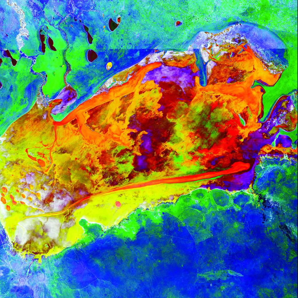
Salty Desolation
Landsat 8 image of the salt pan in Etosha National Park, Namibia, one of the largest in the world. The horizontal line across the image is the park fence. The wild patterns in this IR interpretation are from numerous episodes of water evaporation following seasonal rains. The surrounding blue shades are dry bushland savanna.
—USGS Landsat 8, data acquired 03/04/2014
